Table of Contents
Top Rated items in this list as voted by talkKs Readers
- Beijing : 2 votes
China, the world’s oldest continuous civilization, boasts a rich and diverse history reflected in its provinces. Its documented history stretches back over four thousand years. The country has been divided into various administrative regions throughout its history, each with its own unique culture, economy, and political system. Mainland China has 23 provinces, 5 autonomous regions, and 4 municipalities with provincial-level status. The provinces are Anhui, Fujian, Gansu, Guangdong, Guizhou, Hainan, Hebei, Heilongjiang, Henan, Hubei, Hunan, Jiangsu, Jiangxi, Jilin, Liaoning, Qinghai, Shaanxi, Shandong, Shanxi, Sichuan, Yunnan, and Zhejiang.
The autonomous regions include Guangxi, Nei Mongol, Ningxia, Xinjiang, and Xizang. These are areas with a high population of ethnic minorities, and they have more self-governing powers than provinces. Both provinces and autonomous regions are responsible for local administration, economic development, and maintaining law and order.
From the imperial dynasties to the formation of the People’s Republic of China, the division and evolution of China’s provinces tell the story of the country’s growth and development. In this article, we will explore the history of China’s provinces, tracing their origins and evolution through the ages. From the ancient dynasties to the present day, we will delve into the fascinating history of each of China’s provinces and their impact on the country’s overall development.
Use Up/Down vote buttons and comment section under each list item to tell us your opinion and rank these provinces based on your preference.
-
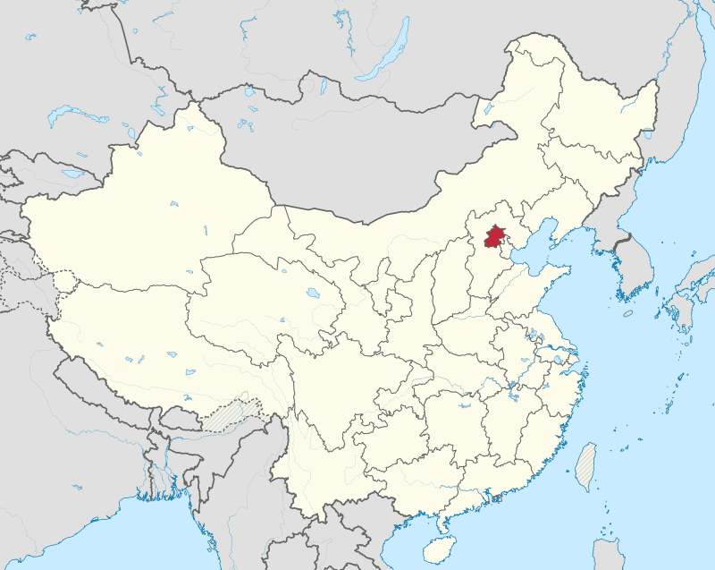
1 Beijing

Beijing is one of the four oldest cities in China, with a rich history of 3,000 years. It is also one of the most well-preserved ancient cities in the world, with numerous cultural and historical treasures. It has served as the capital for nearly 700 years and the center of power for six ancient dynasties, including the Yuan, Ming, and Qing empires, which were among the largest and strongest in history.
The area around Beijing was home to some of the earliest human beings, as evidenced by prehistoric fossils. In the period from 1918 to 1939, the fossil remains of the Peking man (who lived around 770,000 to 230,000 years ago) and Upper Caveman (who lived around 50,000 years ago) were discovered at Zhoukoudian.
-
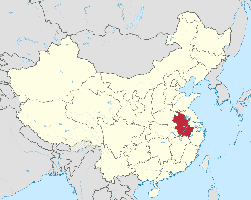
2 Anhui

The name “Anhui” comes from the combination of the names of Anqing and Huizhou cities. Anhui was officially established as a province in 1667 during the Kangxi Emperor’s rule in the Qing dynasty. The land has a rich history, with historical sites dating back to the Xia dynasty (2070 BC) to the Warring Kingdoms (475–221 BC). During the Qin dynasty, the area was divided into prefectures such as Jiujiang, Zhang, Tang, and Sishui.
Before 1949, Anhui was one of China’s poorest and least developed regions. Since then, efforts have been made to tap into its economic and human resources.
-
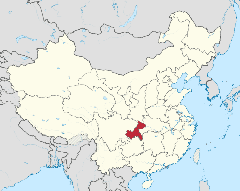
3 Chongqing

Chongqing, with a metropolitan area as large as Austria, is considered one of the four most important cities as it serves as a vehicle for spreading industrialization across China’s underdeveloped western frontier. Chongqing was part of Sichuan Province until 1997, but with the entire province totaling 100 million people, it was divided up to make governance easier. However, culturally and historically, it’s basically identical to Sichuan. It’s the financial capital of the upper Yangtze and once served as the nation’s provincial wartime Capital during World War II.
-
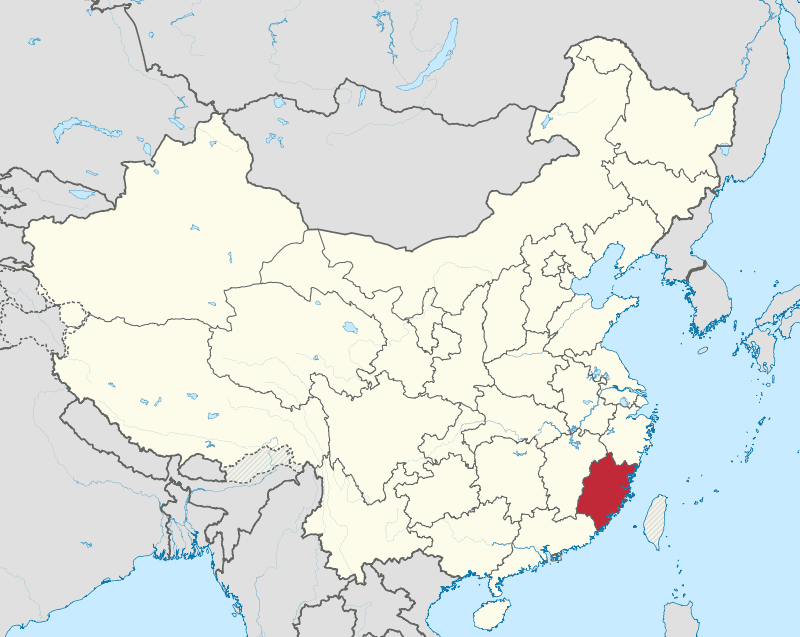
4 Fujian

Fujian is one of the most linguistically and culturally diverse Chinese provinces, with dialects like China Min, Hokkien, Hakka, Fujianese, and Fuzhou. It is said that every 10 kilometers you drive in this area, the language, as well as the local customs and culture, completely change. This is owed to the waves of migrations to the province. Its mountainous landscape acts as containment zones for each culture besides being a destination for internal migrants over the centuries. Fujianese are famous for being migrants themselves; they make up the majority of the Southeast Asian Chinese diaspora whether they ethnically identify as Hakka, Hokkien, or the practically innumerable other groups from Fujian. When the Qing conquered Taiwan from the Ming loyalists in 1683, Fujian in Taiwan became one province, so Taiwan was predominantly peopled by Hokkien immigrants from Southern Fujian. To this day, the Taiwanese iteration of traditional Chinese culture is a reflection of this particular region’s customs.
-
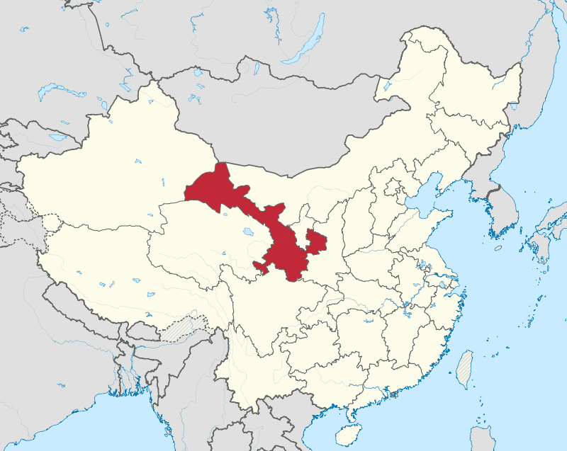
5 Gansu

This sparsely populated province in Northwest China has had a great impact on the development of Chinese history. It’s the origin point for the state of Qin, which conquered all of China and unified it as a single entity in 221 BC. What Gansu is most famous for, though, is the Gansu Corridor, a traversable land bridge flanked by inhospitable terrain, connecting the Chinese historical heartlands with the wider world and beyond. It’s through this stretch of land that the Silk Road begins and connects with the West. It’s the way by which Buddhist missionaries from the Kushan Empire came to spread their teachings throughout China. It’s also the way Islam would spread from Central Asia.
-
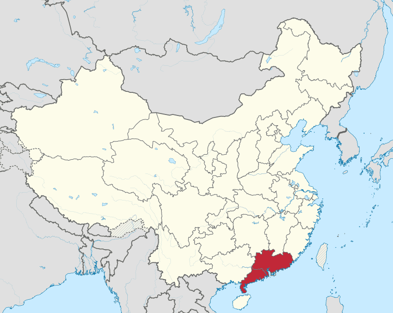
6 Guangdong

Guangdong is China’s most populated province, with a total of 126 million people. It’s also one of the very few provinces that have their own television and radio stations operated in their own language. This language, known as Cantonese, is so prolific that at the turn of the 20th century, Cantonese was considered to become China’s lingua Franca over Mandarin. As a southern Coastal Province, Guangdong is over-represented in the Chinese immigrant population abroad, particularly in the West. The Cantonese-speaking people are the face of China to the Western world. In the West, when you suggest getting Chinese food, you usually mean getting Guangdong cuisine. Similarly, if you watch a Chinese movie, especially a Kung Fu film, it’s likely to be in Cantonese. Guangdong has great ties to the outside world through culture, immigration, and trade, with Hong Kong serving as the portal between China and the West.
-
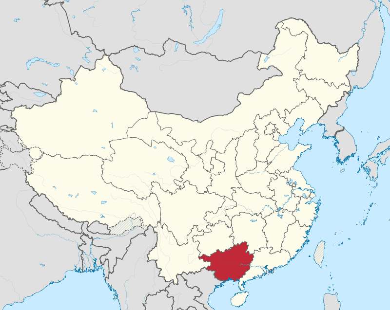
7 Guangxi

Long regarded as the Wild Frontier of Chinese civilization, Guanxi’s name literally means western expanse. It refers to the vast territory of untamed landscape, which was first incorporated into the empire in 214 BC by Qin Dynasty General Zhao Tuo. When the Qin dynasty fell to the Han less than 20 years later, Jiao Tuo announced himself emperor and established his own kingdom called Nanyue, which encompassed the kingdom of barbarians known as the Yue people. This empire would stretch into Vietnam and play a key role in spreading Chinese culture into Indo-China with the name of Vietnam, literally meaning Nanyue.
-
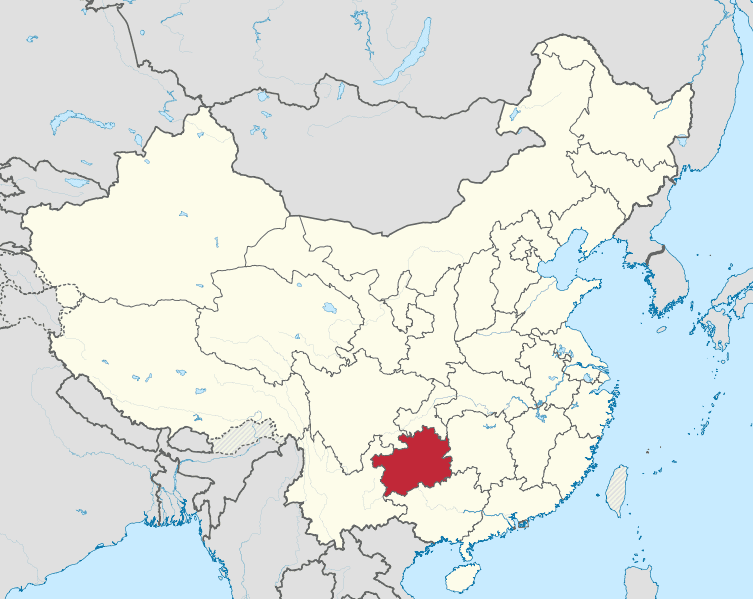
8 Guizhou

The indigenous inhabitants of Guizhou, the Miao, have probably rebelled against Han Chinese rule more times than any other minority group in China. Since their incorporation into the state of Shu in the 10th Century BC, what has made the Miao difficult to suppress is their geographical location. Guizhou sits atop the Yunnan Guizhou Plateau, separated from the Chinese heartland by 1100 meters of altitude and amongst the thick vegetation. The Han migration into Guizhou has been one that has come slowly and in relative bursts throughout history during the 8th and 9th centuries AD. Tang soldiers moved into Guizhou and married indigenous women, with their future offspring being referred to as old Chinese. Many Han that live in Guizhou in the present can trace their lineage back to these old Chinese and speak with an archaic accent that has been preserved since the time of the Tang.
Since Mao’s passing through Guizhou during the Long March in 1934, the province has gained increased significance in more recent times. Mao referred to Guizhou as a “gorilla’s paradise,” and when the Communist party came to power, there was a focus on developing the province in case of a war with either the US or the Soviet Union.
-
9 Hainan

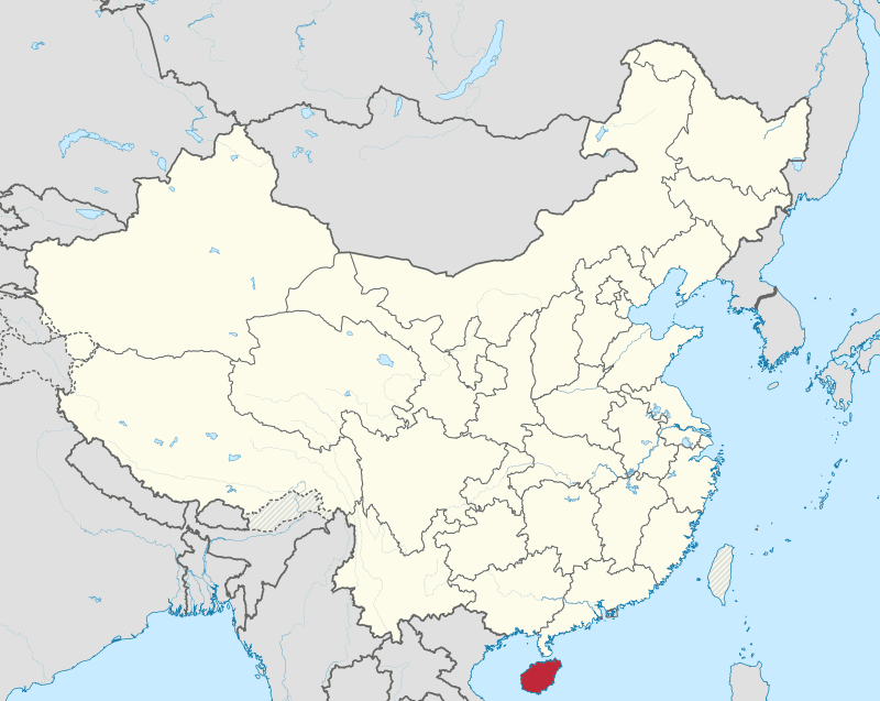
Sometimes jokingly referred to as the Hawaii of China, Hainan has been the southernmost territory of China since its incorporation into Han rule 2 000 years ago. Being so remote, it was known as a place to exile political prisoners. With China being a historical land power and all its energy focused on the heartland of the Middle Kingdom, Hainan served practically no strategic interest and was scarcely ever coveted by foreign powers. All this changed, however, when China was forced to face the sea when the westerners staked their claim to their Coastline in the 19th century. Since then, up until the present day, Hainan has been used to project power into the sea as it serves as China’s only major island possession. During Deng Xiaoping’s economic reform program, he made the island into the country’s largest special economic zone. Again in 2020, it was announced that the island would become a free trade port. Unlike throughout most of its neglected history, Hainan now serves a critical geostrategic importance to China as it’s China’s way of projecting itself into the South China sea, and thus Hainan has China’s largest naval base. Being the only part of China that is distinctly part of Southeast Asia, it’s through Hainan that China joins the geostrategic interests of the southeast Asia region.
-
10 Hebei

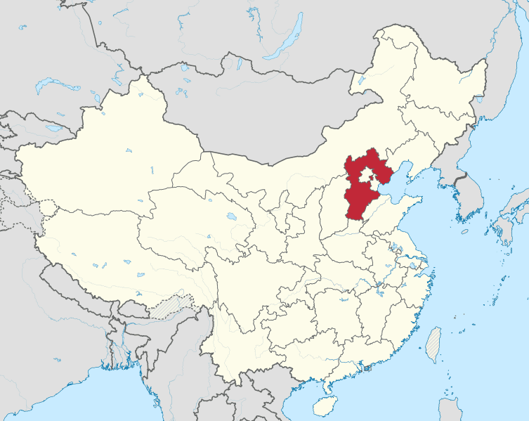
As passed down by tradition, it is said that the serpentine God Fuxi lived in present-day Xingtai city, Hebei province, and it’s here where she supposedly created Humanity. Hebei occupies a portion of the Chinese cradle of civilization that exists in and around the Yellow River. With its name literally translating ‘to the north of the river,’ Hebei has five UNESCO world heritage sites. The first is the most famous and well-preserved part of the Great Wall of China, built by the Ming in the 14th century to keep the Mongols out. The second is the ancient Grand Canal, a 1700-kilometer-long man-made Canal built in the Sui Dynasty in 581 AD to link the Yellow River and the Yangtze River. The third is the Chengdu Mountain Resort which was completed in 1792 after 89 years of construction. It’s a vast complex of palaces, and administrative and ceremonial buildings, all surrounded by lakes and forests. This was supposed to serve as the forbidden palace when the Royals would go on their summer vacation. The final two are the East and West Qing Imperial tombs that house the bodies of 237 Qing Royals.
-
11 Heilongjiang

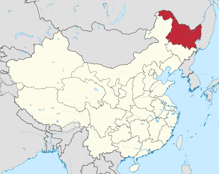
Heilongjiang is both China’s most northern Province and most eastern province. The name Heilongjiang is derived from the name of the river of the same name, the Heilong River, which is translated as the Black Dragon River. The river is more or less an exact boundary demarcating the Chinese on the south side from the Russians on the North side. Heilongjiang is most known for being the Homeplace of the Manchu people who conquered China and established the Qing Dynasty. For most of the Qing’s rule, Manchuria was barred from Han immigrants, with few exceptions. However, towards the end of their Dynasty, Han Chinese from the Shandong Peninsula immigrated in waves to the province during the century of chaos that was the 19th century, and now the Hans are the super majority in the area.
-
12 Henan

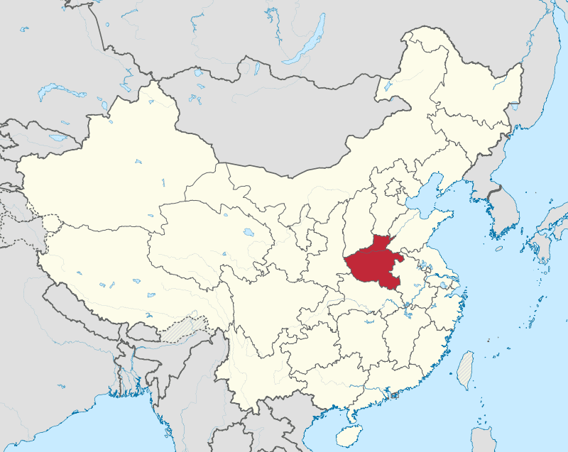
Henan boasts a rich history as the birthplace of Han Chinese civilization, with over 3,200 years of recorded history. It served as China’s cultural, economic, and political hub until about 1,000 years ago. Its fertile plains and central location in the country were the source of its economic prosperity. However, Henan’s central location in China has led to it being affected by many of the country’s major wars. Also, over the years, the Yellow River has caused damage to the area through frequent flooding.
-
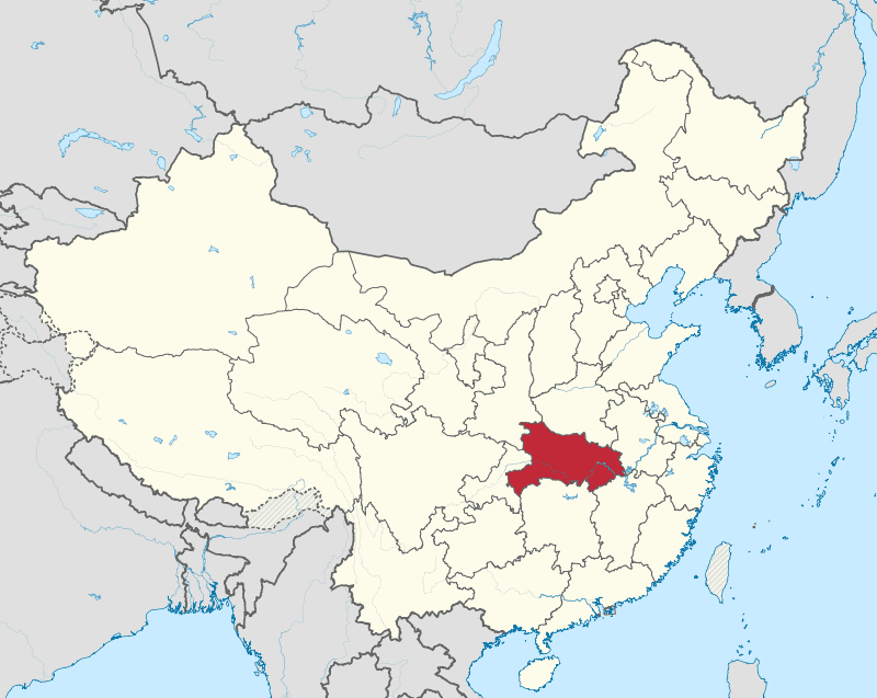
13 Hubei

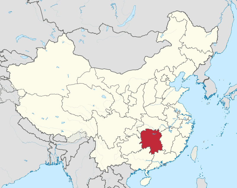
Before the Kangxi emperor’s reign in the Qing dynasty, Hubei and its neighbour Hunan were one province called Huguang. During the Qing dynasty, they were split into two separate provinces, Hubei (meaning “North of the Lake”) and Hunan (“South of the Lake”), based on their location relative to Dongting Lake. During the Spring and Autumn period, the area that is now Hubei was part of the strong State of Chu.
Currently, Hubei plays a significant role in economic development in China. The building of the Three Gorges Dam on the Yangtze River near Yichang, which started in 1993, represents the shift towards economic growth in the province.
-
14 Hunan

Hunan, like Hubei, was part of the state of Chu and shares its ancient origins. Although China didn’t have universities, they did have academies, making Hunan a centre of learning. One of the most prestigious academies was the Yuelu academy, founded in 960 AD. This makes it one of the oldest institutions of higher learning that is still in use. Hunan is also known as the cradle of China’s Revolution. This was the place where the Communists began their uprising. After a famine that had killed 2 million Hunanese, an uprising took place led by a local communist organizer Mao Zedong, who would take to the Hunan Countryside to wage a Guerrilla war against nationalists.
-
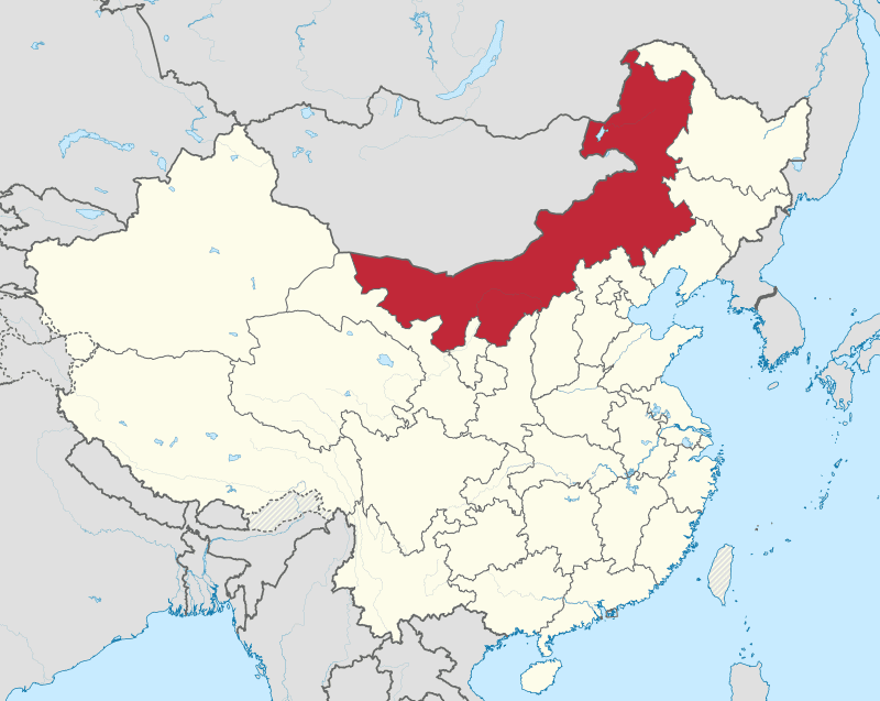
15 Inner Mongolia

Inner Mongolia is an autonomous region within China and shares a large part of China’s border with Mongolia. Approximately 40% of Mongolia’s territory lies within China’s borders. The autonomous region of Inner Mongolia was formed in 1947, combining the former provinces of Suiyuan, Chahar, Rehe, Liaobei, and Xing’an, as well as the northern parts of Gansu and Ningxia.
When considering Mongolian history, the Mongolian empire became unstable after the fall of the Yuan Dynasty in 1368 due to internal conflict and competition for power among the Golden Horde princes. The vast size of the empire made it difficult to maintain control. The passing of the last Golden Horde khan in 1636 and the rise of the Qing Dynasty in 1644 made southern Mongolia (inner Mongolia) vulnerable to occupation.
-
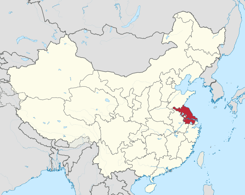
16 Jiangsu

Jiangsu is a model of economic success, having the highest GDP per capita and a GDP only second to the much more populated Guangdong Province. This area, historically known as the state of Wu, has, in fact, been a major source of prosperity since ancient times, with cities like Wuxi being a primary source of silk, textiles, and rice.
When the Northern barbarians occupied all of North China in the 4th century, forcing the heartland of China to move South, the ruling Dynasty Jin, moved their capital to the city called Jianye, now known as Nanjing, enshrining the city as a historic capital for successive dynasties to come. The growing influence of the South was further multiplied by the building of the Grand Canal in 581 AD by the Sui Dynasty, connecting the economic zones of the Yellow River to the Yangtze. Jiangsu, sitting amidst the Yangtze River Side of the canal, became enormously wealthy from the trade. This area became the birthplace of China’s wealthy Mercantile class, with cities like Suzhou being famed for their new money opulence.
-
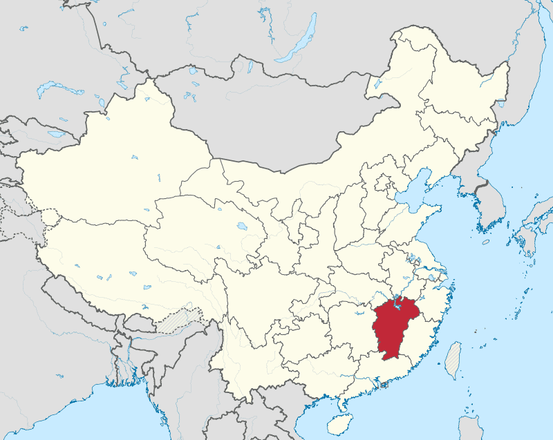
17 Jiangxi

Jiangxi is defined by the river Gan, a not-too-well-known river outside of China. The Gan river is the historical link between South China and South South China as in Guangdong or what we would consider South China today. Without such a connection, the peopling of contemporary Southern China wouldn’t have been possible as Jiangxi is a typically mountainous and inaccessible region with the exception of its River Corridor. The culture that spread forth from this area was known as the Gan, with the Gan language having over 48 million speakers.
-
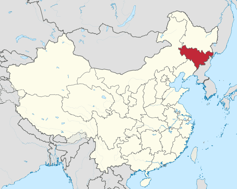
18 Jilin

Jilin in Manchu means ‘on the river’, referring to the song Hua River. Jilin is just one of those four provinces that make up the Antiquated region of Manchuria or, as it’s known in Chinese, Dongbei. This North Eastern region of China is not native to the Han, but was the wild west of Barbarian nomadic. During the 19th century, when the area of Primorsky Krai was ceded to the Russians, the Manchus opened up Jillin to Han migration to provide a buffer between expansionists Russia and the Manchu Heartland. Like with Heilongjiang, the once majority Manchu populous was mostly replaced by the Han a century later. Also featured in Jilin are Koreans, who make up five% of its population. They even have their own prefecture called the Yanbian, a Korean autonomous prefecture that sits west of the Tunmen River bordering North Korea.
-
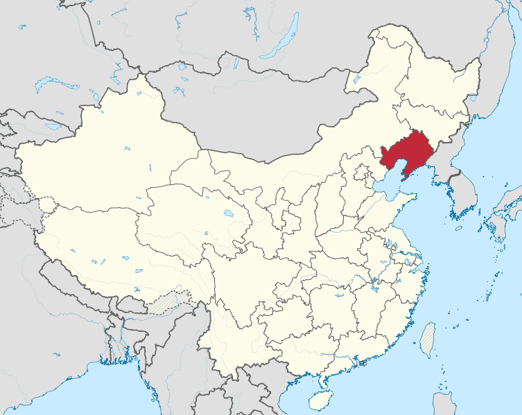
19 Liaoning

Liaoning is China’s northernmost Coastal Province. Its Port City of Dalia is a significant shipping and logistical hub for East Asia as it’s a Midway port for Japan and Northern China. The peninsula was of great interest to the Imperial powers of the 19th century. The geostrategic importance of this city led to the Russo-Japanese war, where both parties sought to be the hegemon of this important region with Dalian at its Center. The Russians wanted Dalian to use it as a warm water port, and the Japanese wanted to use it as a springboard to colonize Manchuria. This strategic importance carries over to contemporary times.
Dalian is home to one of the largest military and Naval bases in Asia as the Liaoning peninsula, as well as the Shandong Peninsula, are the naval gateways to China’s capital.
-
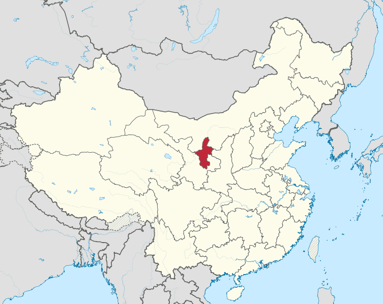
20 Ningxia

Ningxia is an autonomous region in northwest China. It was once a province but was merged with Gansu in 1954. In 1958, it was separated from Gansu and established as an autonomous region for the Hui people, who make up 20% of China’s Hui population.
Ningxia has a long and diverse history, having been incorporated into various dynasties and being a frequent target of war and incursions by non-Chinese tribes. It was part of the Qin dynasty as the Beidi Commandery in the 3rd century BC and later became the center of the Western Xia dynasty established by the Tangut people in the 11th century. Jews also lived in the area, and after being conquered by Genghis Khan in the early 13th century, Ningxia was also populated by Muslim immigrants from Central Asia. By the late 17th century, Ningxia had become a major center for weaving, producing early Chinese carpets.
-
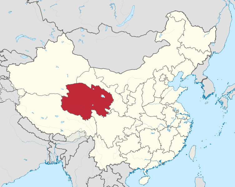
21 Qinghai

Qinghai is the second largest region in China, but it’s sparsely populated owing to its inhospitable terrain and climate. Only a few people are able to tolerate the high altitude that leads to harsh winters and ferocious winds in the desert landscape that cause sandstorms.
The region is traditionally inhabited by nomadic tribes of Tibetans and Mongols, who have been the predominant cultural influence in the region. Qinghai has a special symbolic and strategic influence as the life giver of Asia. It’s the source of the three Great Rivers: yellow river, Yangtze, and Mekong river, which in total support over 800 million people with water.
-
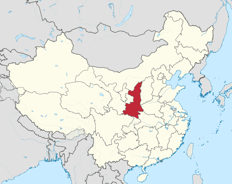
22 Shaanxi

Shaanxi, considered one of the origins of Chinese civilization, is home to the famous terracotta warriors who reside in the great ancient capital of Xi’an, formerly known as Changan. Changan was claimed as the capital by most of the dynasties that are considered to be in the golden age, the Zhou Han and the Tang among them. One could argue that much of its prosperity is derived from its position as the endpoint for the Silk Road, where wealth was accumulated over many generations. Shaanxi is also home to the supposed resting place of the first emperor of China, the legendary yellow emperor. According to legend, he came to the site and ascended into heaven, leaving only his clothes behind.
-
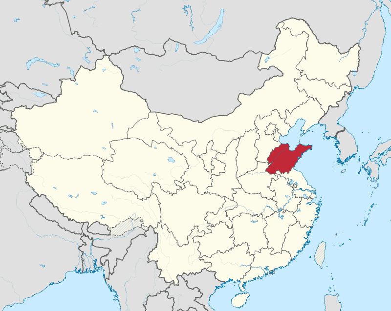
23 Shandong

Although China doesn’t appear like a place of significant religious importance, there are pockets within the country that are overrepresented in the dissemination of religious and philosophical knowledge, and the key among these places is Shandong. Shandong is a pivotal religious center for all three major religions Confucianism, Buddhism, and Taoism.
The city of Qufu is the birthplace of Confucius, attracting pilgrims and tourists since ancient times to pay their respects. It was also the site of pilgrimage for successive emperors since Han times, who would often visit after ascending to the throne, often as a way to legitimize their rule by paying homage to the forefather of wise leadership. Mount Tai is also located in Shandong. It’s a site with perhaps the longest-running history of continuous religious worship in the world, starting three thousand years ago.
In modern times, Shandong rapidly grew to have the third largest GDP out of all the provinces in China due to the significance of a strategically positioned peninsula and its closeness to the capital.
-
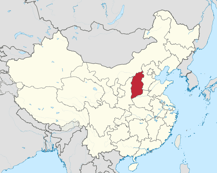
24 Shanxi

Shanxi is a fairly poor province in current times and is primarily known for its large-scale coal mining; however, in pre-modern times, Shanxi merchants had a reputation for great wealth and were known to conduct commerce even in the nether regions over the Great Wall. Shanxi merchants had an established monopoly on finance for centuries prior to the arrival of the British banks. At the time, they used the system of commercial paper to execute money transfers, deposits, and loans for people using their network of Shanxi merchants across China. Shanxi is also known for having 70 % of China’s surviving historical buildings built during or before the Song Dynasty.
-
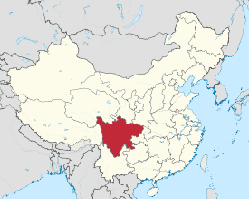
25 Sichuan

Although most people misinterpret the name Sichuan as “four rivers,” this misinterpretation is an apt description of the province and its prosperity. The rivers and their basins in the region make the soil so fertile that it is able to sustain 100 million people. Sichuan is a far-flung region from the central plains heartland of China, but since the Qin’s subjugation of the province in 316 BC, irrigation systems were implemented to further develop agricultural production, placing it on par with the agriculture of the Yellow River Valley region. Sichuan is generally considered to have the best food in China, known for its wildly spicy food.
Geographically, Sichuan is split between the Han-populated lowlands of the Sichuan Basin and the Sichuan-controlled area of the Tibetan Plateau, a sparsely populated region inhabited mostly by Tibetans. Sichuan is also home to the world’s oldest ongoing school, the ShiShi School, founded in 141 BC during the time of the Han.
-
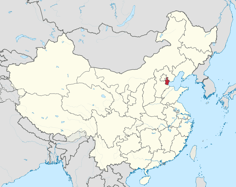
26 Tianjin

Since China’s pivot to the ocean over the past two centuries, some cities have had great geostrategic importance placed on them. Tianjin is one of these cities. If the Liaoning Peninsula serves as the gate to the capital of Beijing, then Tianjin is the door. This is why this city is considered one of the four most important cities in current-day China. Throughout Beijing’s history, the threat of invasion came from the other side of the Great Wall in the form of horseback riding barbarians galloping across the untamed countryside, but in the 19th and 20th centuries, this threat came through the sea, and the staging ground for such attacks was from Tianjin. The first time this happened was when British and French troops marched inland from Tianjin and burnt down the Imperial Summer Palace in 1860. Consequently, there was a focus on strengthening Tianjin both militarily and economically to act as a buffer to Beijing due to the presence of Westerners in the city during the 19th century. Therefore, Tianjin became a place for modern military instruction with the establishment of the Tianjin Military Academy in 1885. Instructed by German officers, the academy would help bring China up to scratch on Modern Warfare and would become the benchmark for military academies in China.
-
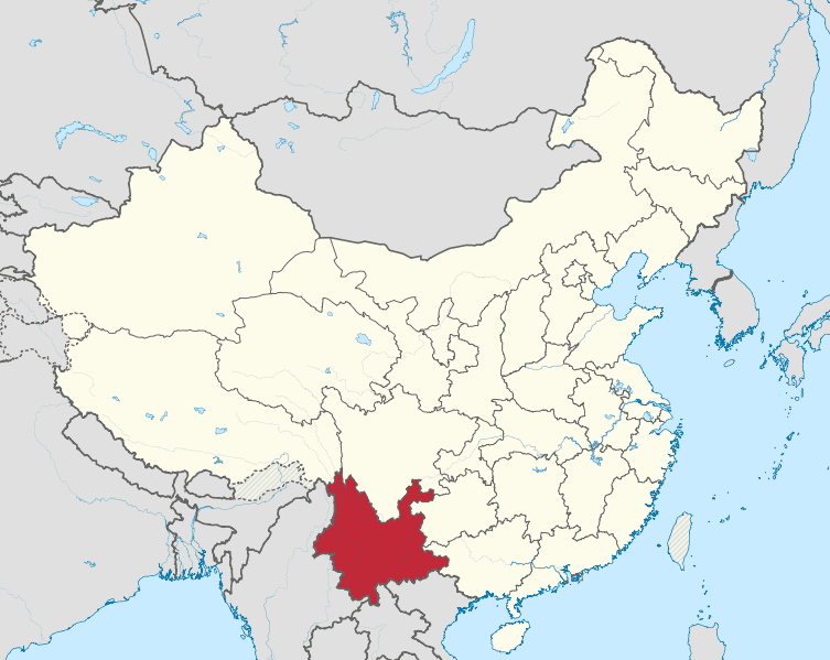
27 Yunnan

Yunnan is home to 56 different ethnic groups. This includes Han, Hui, Mongols, Manchus, and Tibetans, but most of these 56 ethnic groups are exclusively in South China and have lived there since time immemorial. The Burmese Empire to the South and Imperial China to the north have been comfortably separated from each other by rugged mountain terrain, rivers, and densely packed rainforests, allowing inhabitants to remain mostly undisturbed. The majority of Yunnan’s territory is run by what are called autonomous prefectures.
-
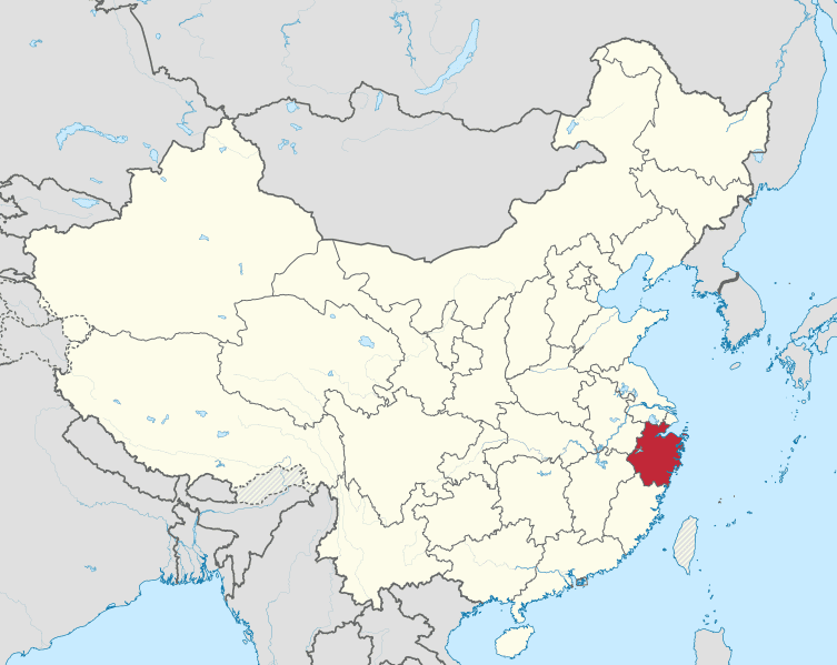
28 Zhejiang

Zhejiang comprises the heartland of what is known as the Yangtze River delta and has been the richest province since ancient times. Like its sister province Jiangsu, Zhejiang has reaped the windfall of the Yangtze River trade route as well as having access to the Grand Canal to ship goods north. Zhejiang came into prominence for its wealth during the era of the Three Kingdoms, where the kingdom of Wu was so resource abundant compared to its other rival kingdoms. It was at this time that China saw its first large-scale naval fleets used for river battles, a feat only made possible by the prosperity of Zhejiang. Zhejiang’s wealth accumulated over the centuries, and the city of Hangzhou came to rival Nanjing in time. It was such a wealthy city that Marco Polo wrote of the city as greater than any in the world. This was also confirmed by Ibn Battuta’s writing.
-
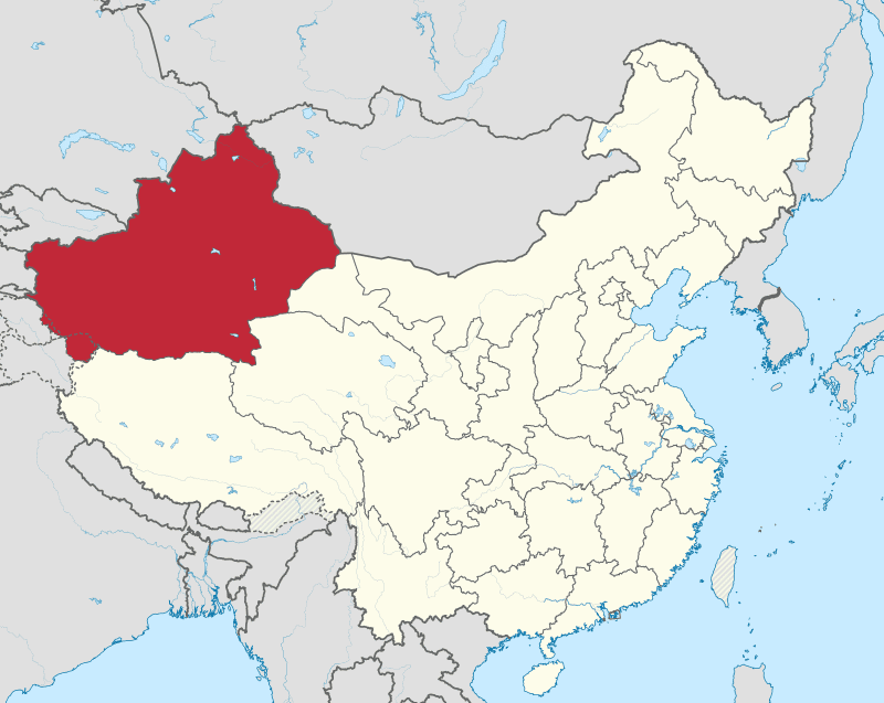
29 Xinjiang

Xinjiang is an autonomous region within the People’s Republic of China, located in the northwest of the country where Central Asia and East Asia converge. It is the largest province-level division in China.
The name Xinjiang is simply the current iteration of a land that has been changing hands by empires and peoples for thousands of years. Xinjiang’s history is extremely complex and involves one group of people displacing another, century after century for thousands of years. The Han Dynasty first conquered the area known as Xinjiang in 87 BC from the Xiongnu, a proto-Mongolic people who had been ravaging Northern Chinese territory since ancient times. Prior to this, the Xiongnu themselves were the ones who conquered Xinjiang from another people, the Indo-European Tocharians.
-
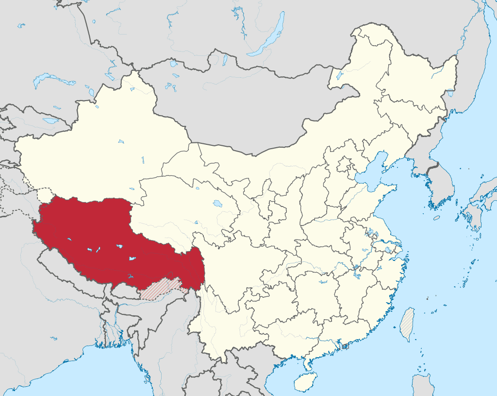
30 Tibet/Xizang

The Tibet Autonomous Region is a region located in western China that was once ruled by the Tibetan people. Tibet has a rich history dating back to the 6th century AD, and it has played a significant role in Chinese history and culture.
Archaeological evidence confirms that this region has been inhabited since at least 10,000 B.C., when nomadic hunter-gatherers began crossing into what is now present-day Tibet from East Asia via 4 main paths: from south India via Nepal or Burma; from India's arid Rajasthan; from China across the high Tibetan plateau; and via Kazakhstan - Uzbekistan ~ Tajikistan. As these nomads spread out they developed their own distinct language, culture and religion – Buddhism – which solidified over time to become an official part of Tibetan life by at least 600A.D.
Tibet was given autonomous remote status in 1950 with the establishment of People's Republic of China.
-
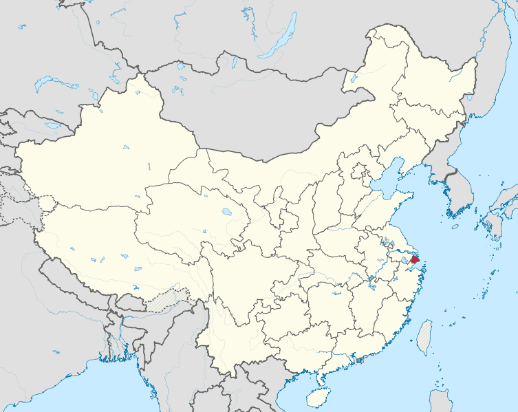
31 Shanghai

Shanghai’s popularity is a relatively recent phenomenon in history. Before becoming its own municipality, Shanghai was in the shadow of other prosperous great cities in Jiangsu, like Suzhou or Nanjing. It was propelled into riches by China’s shift from the world of rivers to the world of oceans. This is a stark contrast to Shanghai’s humble beginnings as a fishing village. During the 16th century, the simple building of a wall around the village greatly increased its standing as Japanese pirates plundered the coast. With its safety secured, the next big step came a century later when Emperor Kangxi reversed the long-held Ming-era policy of banning ocean-going vessels. As a safe ocean port, business was brought to Shanghai at a time when more and more goods were being moved to the coast for trade with foreigners. When the British won the first Opium War, the conditions of surrender forced the Qing to open the city to unlimited free trade. Prior to this, trade with foreigners was made through the Canton system, whereby all trade was made at the Port of Canton. The ending of this policy was an economic disaster for the Qing but a massive boon for cities like Shanghai.




Comments 0